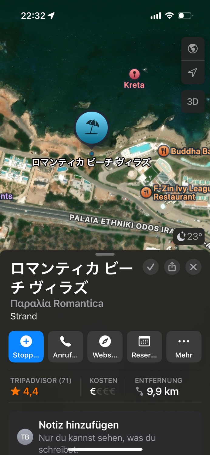
Apple Maps gets their data from openstreetmap, where anyone can insert a “place” if there’s not.one there already.
I think some Japanese person just put up an entry and Apple Maps scooped it up as-is.
The hotel I work for (also in Crete) was listed in the wrong address in Apple Maps and I had to make an openstreetmap account to edit it. It’s showing correctly now.
Edit: I went to the place on Apple Maps and it’s plain old English in mine, either they corrected it or it’s a regional thing. It’s not like this on openstreetmap either
Yes. Without knowing their infrastructure, they obviously cache and probably process the raw OSM data locally. If they chose to use their own overrides or the official-tag is impossible to tell.
An easy way to contribute is via a phone app called StreetComplete. It asks you questions about stuff near you when you are out. For example, names of places, if the crossing is handicap friendly, road surfaces, etc etc

Apple Maps gets their data from openstreetmap, where anyone can insert a “place” if there’s not.one there already.
I think some Japanese person just put up an entry and Apple Maps scooped it up as-is.
The hotel I work for (also in Crete) was listed in the wrong address in Apple Maps and I had to make an openstreetmap account to edit it. It’s showing correctly now.
Edit: I went to the place on Apple Maps and it’s plain old English in mine, either they corrected it or it’s a regional thing. It’s not like this on openstreetmap either
Yeah, somebody didn’t like a neighbour near us. Their garage had like 10 entries: Sausage Butcher Laundromat Loans Etc
Doesn’t open street map call it the Gulf of Mexico?
https://wiki.openstreetmap.org/wiki/Gulf_of_Mexico#Name
Basically they list all, with gulf of mexico as the default for the en locale and an entry for official name in en-US
So Apple is specifically choosing the government tag then.
Yes. Without knowing their infrastructure, they obviously cache and probably process the raw OSM data locally. If they chose to use their own overrides or the official-tag is impossible to tell.
Thanks for the tutorial. I’ve only ever done a few edits to OSM. Didn’t know the finer details.
An easy way to contribute is via a phone app called StreetComplete. It asks you questions about stuff near you when you are out. For example, names of places, if the crossing is handicap friendly, road surfaces, etc etc
Edit: I wrote another post about it a while back, https://lemmy.world/comment/18685150